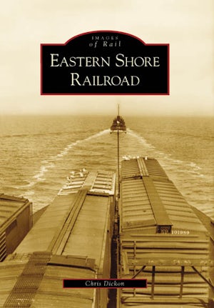
In the 1880s, New York railroad magnate Alexander Cassatt looked at a map of America's East Coast and decided that he could overcome a challenge of geography if he thought of a new railroad in a non-traditional way. North and South were now trading with each other postwar, and the two most
prominent coastal cities of those regions, New York and Norfolk, were less than 500 miles apart--except for one very large problem: at the end of a straight route down the Eastern Shore of Virginia lay the mouth of the Chesapeake Bay, with more than 20 miles of open water to the rail yards
of Norfolk... Read More
Formats
Paperback
prominent coastal cities of those regions, New York and Norfolk, were less than 500 miles apart--except for one very large problem: at the end of a straight route down the Eastern Shore of Virginia lay the mouth of the Chesapeake Bay, with more than 20 miles of open water to the rail yards
of Norfolk... Read More

