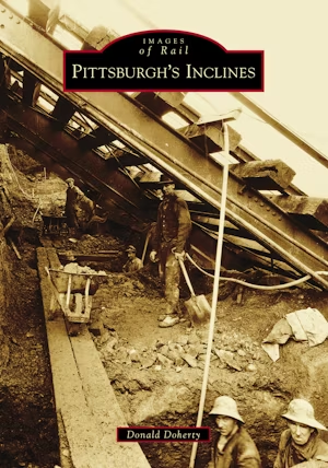
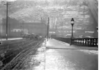
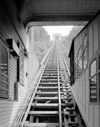
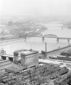
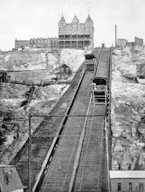
Offering a panoramic view of present-day Pittsburgh, Monongahela and Duquesne Inclines attract pedestrians traveling from the river's shore to the top of Mount Washington.
These inclines were completed in 1870 and 1877 by real estate speculators hoping to capitalize on undeveloped land at the top of "Coal Hill," a name given due to its many coal mines. Housing in the valleys and other low-lying areas could not accommodate the influx of new residents following the Civil War. Using technology perfected to haul coal from mines, the region's first inclined railroads, or funicu... Read More